
ST. LOUIS — High temperatures today in the urban heat island of metro St. Louis will reach the mid-90s with a heat index up around 100 this afternoon. The rest of the region will be in the low 90s, all with sunny skies and warm breeze.
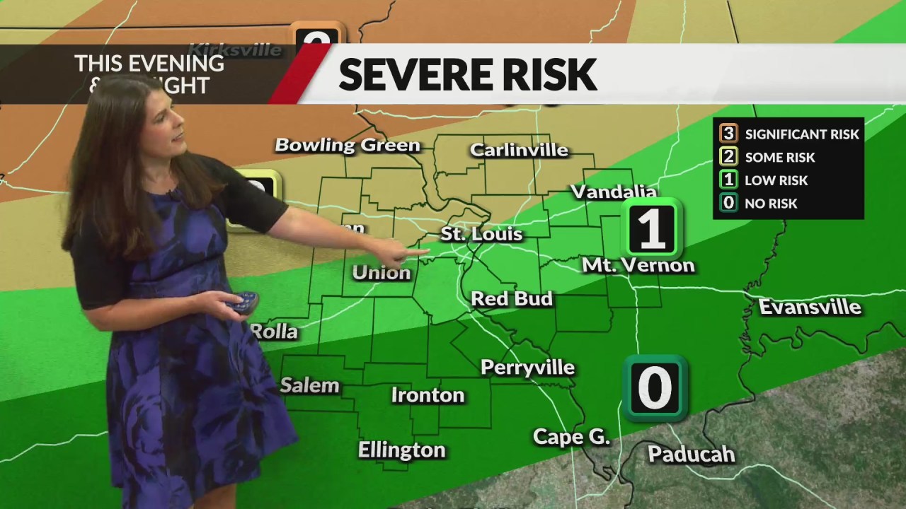
A weak front will initiate a band of scattered strong to severe storms this evening over far northeast Missouri into central Illinois. These storms will build south and west during the late evening and into the overnight. The storms will be their strongest north of St. Louis where there is a Level 2 (out of 5) risk of damaging winds and large hail. There is actually a Level 3 risk just far north of St. Louis.
The storms will be weakening as they approach I-70. The timing for these storms in will be in the 8 p.m. to 1 a.m. Thursday. The fading storms will then drift south-southwest across the rest of the region after midnight and be gone before sunrise.
Mid-summer heat and humidity will continue even after the Thursday night storms. Temperatures will dip slightly Friday but start to rebound back into the 90s for the weekend.
Top heat index values will reach or exceed 100 Sunday. At this time, temperatures appear to hold below record levels. Record Highs for late this week are as follows: Wed (98 in 2016), Thu (100 in 2022), Fri (99 in 2022), Sat (101 in 1952 ), Sun (100 in 1950).
Comments are closed.